
Hi Everyone,
Check out the latest US Hazards Outlook from the Climate Prediction Center below. Note Weather Prediction Center (WPC) and Climate Prediction Center (CPC) update this product Mondays through Fridays only.
US HAZARDS OUTLOOK
NWS Weather Prediction Center and Climate Prediction Center
College Park, MD
300 PM EDT Friday, December 14, 2025
| Day 3 – 7 Outlook | Day 8 – 14 Outlook |
 |
|
US Day 3 – 7 Hazards Outlook
Issued by the Weather Prediction Center (WPC)
Valid Wednesday, December 17th though Sunday, December 21st, 2025
…Another significant atmospheric river will impact the Pacific Northwest, particularly into Thursday…
…Pattern Overview…
It generally remain the case that as the medium range period begins midweek, quasi-zonal flow will be in place across the lower 48 with quickly moving embedded systems, including a couple of shallow shortwaves over the Great Lakes and the Northwest. The Northwest shortwave is forecast to broaden/deepen as it moves east into the north-central U.S. Thursday and into the East by Friday accompanied by a surface low pressure system. Upstream, strong westerly flow will force another atmospheric river (AR) into the
Northwest/northern California into Thursday. Additional flooding is possible especially in areas that have seen excessive rainfall recently, and heavy snow is likely in the higher terrain. Temperature-wise, the flat flow will allow for above average temperatures for most of the CONUS, though the northern tier could see colder periods with shortwaves moving through.
Click here for the rest of the forecast discussion
US Weather Hazards
Issued by the Climate Prediction Center
8 to 14 Day Outlook Summary
Valid Monday December 22, 2025 to Sunday December 28, 2025
Synopsis: A persistent pattern featuring strong mid-level and surface low pressure over the North Pacific will favor a variety of weather hazards, including high winds, heavy precipitation, and high-elevation snow across the western Contiguous U.S. (CONUS) throughout week-2. The best chances for impactful weather extends across northwestern and northern California, the Sierra Nevada, and adjacent southwestern Oregon, where high risks for heavy precipitation and heavy mountain snowfall are posted. Surface low pressure over the Great Plains along with surface high pressure over the Southeast U.S. are expected to induce potentially hazardous winds over much of the Plains, Mississippi Valley, and western Great Lakes. Farther north, strong surface high pressure over the Yukon and interior Alaska is favored to entrench extremely cold air into southeastern Alaska for all of week-2.
| Experimental Probabilistic Outlooks |
||
 |
 |
 |
| Temperature Hazards | Precipitation Hazards | Wind Hazards |
 |
||
| Snow Hazards | ||
Weather Hazards
For the full discussion, click here |
||
| 6 to 10 Day Maps | |
 |
 |
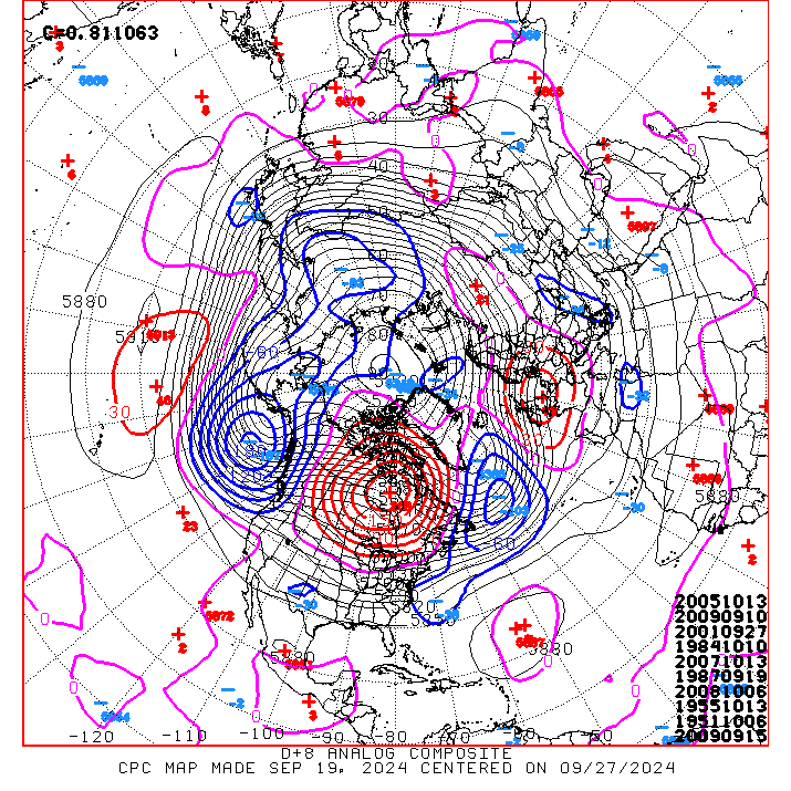
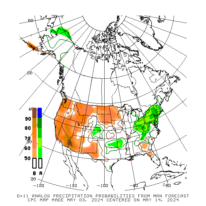
| 6 to 10 Day Analog Year Maps | ||
| 500mb Map | Temperatures | Precipitation |
 |
 |
 |
8 to 14 Day Maps |
|
 |
 |
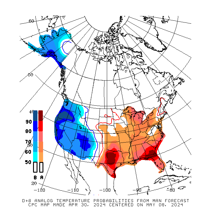
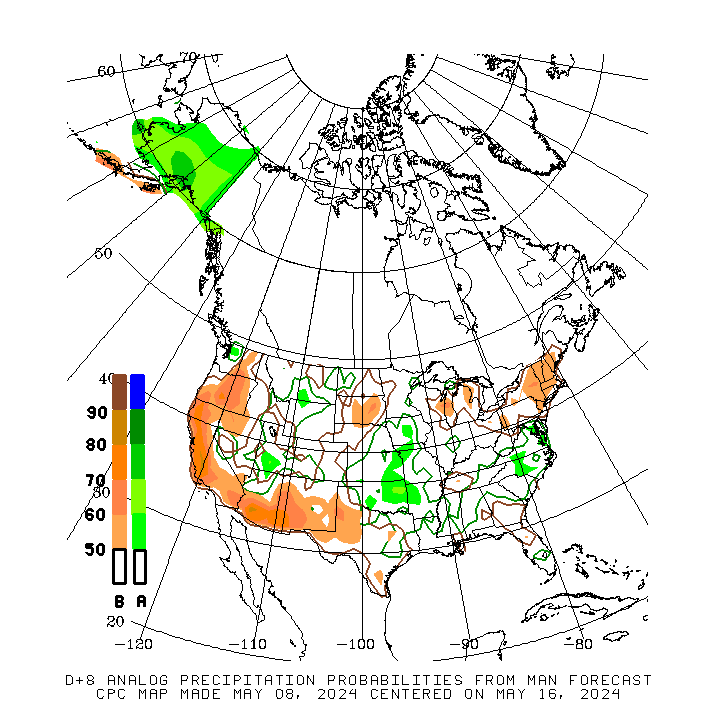
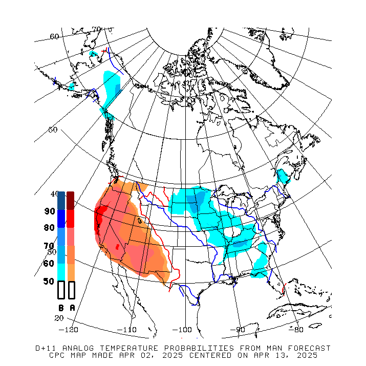
| 8 to 14 Day Analog Year Maps | ||
| 500mb | Temperature | Precipitation |
 |
 |
 |
*********************************************************************************************************************
Climate Prediction Center
Background
Vision
- An informed society preparing for and responding to climate variations and their impacts
Mission
- CPC delivers real-time products and information that predict and describe climate variations on timescales from weeks to years thereby promoting effective management of climate risk and a climate-resilient society.
Expert Assessments
- Climate Prediction Center (CPC) meteorologists and oceanographers review climate and weather observations and data along with model results; assess their meaning, significance, and current status; and likely future climate impacts. Their findings are issued as assessments, advisories, special outlook discussions, and bulletins.
U.S Hazards Outlook
- From Monday-Friday, the CPC issues an outlook of weather- and climate-related hazards to the United States for the next three to fourteen days.